Here's how you know.
Official websites use .gov
A .gov website belongs to an official government organization in the United States.
Secure .gov websites use HTTPS
A lock () or https:// means you've safely connected to the .gov website. Share sensitive information only on official, secure websites.
EGP Applications
Situation Analyst
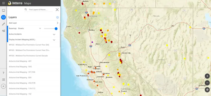
Situation Analyst (SA)
The Situation Analyst (SA) application is an integrated tactical and operational decision support tool used for wildland fires. SA combines a traditional "common operational picture" with collaborative mapping, geospatial and imagery analysis, and analytical reporting.
Situation Analyst Plus
Situation Analyst Plus (SA+)
The Situation Analyst (SA) application is an integrated tactical and operational decision support tool used for wildland fires. SA combines a traditional "common operational picture" with collaborative mapping, geospatial and imagery analysis, and analytical reporting.
Wildfire Prevention Spatial Assessment and Planning Strategies
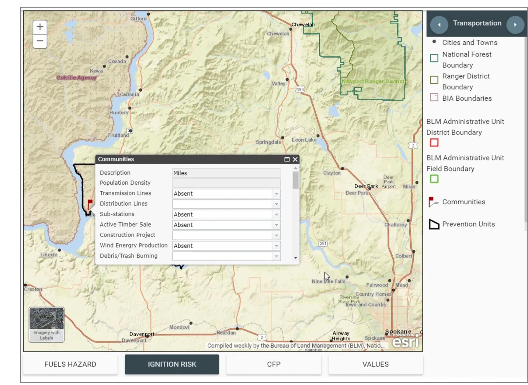
Wildfire Prevention Spatial Assessment and Planning Strategies (WPSAPS)
WPSAPS, is a web-based application designed to make wildfire prevention program risk assessment, planning, and accomplishment reporting more efficient and effective. It provides users with a research-informed set of prevention actions based on a geospatial assessment of the risks, hazards, and values to be protected in their management unit. For user training information, contact your agency wildfire prevention lead.
The outputs from WPSAPS provide a foundation for a well-organized, intentional, prevention program. WPSAPS was developed specifically for the wildfire prevention community by an interagency workgroup composed of wildfire prevention personnel. This video provides an overview of the use and capabilities of the software.
Communication Frequency and Equipment Tracking System
Communication Frequency and Equipment Tracking System (CFETS)
Communication Frequency and Equipment Tracking System (CFETS) is used to track, assign and deconflict radio frequencies assigned for use across the country.
Airtanker Base Directory
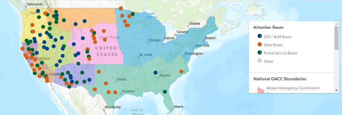
Airtanker Base Directory (ATBD)
The NWCG Airtanker Base Directory offers a single source of information on airtanker bases across all Geographic Areas. The Directory is intended to aid wildland fire managers, pilots, and contractors in the use of airtanker base facilities. The Directory is not intended to supersede any regulations, authority, local procedures, Federal Aviation Administration regulations, laws of any entity, common sense, or the authority of the Pilot-in-Command.
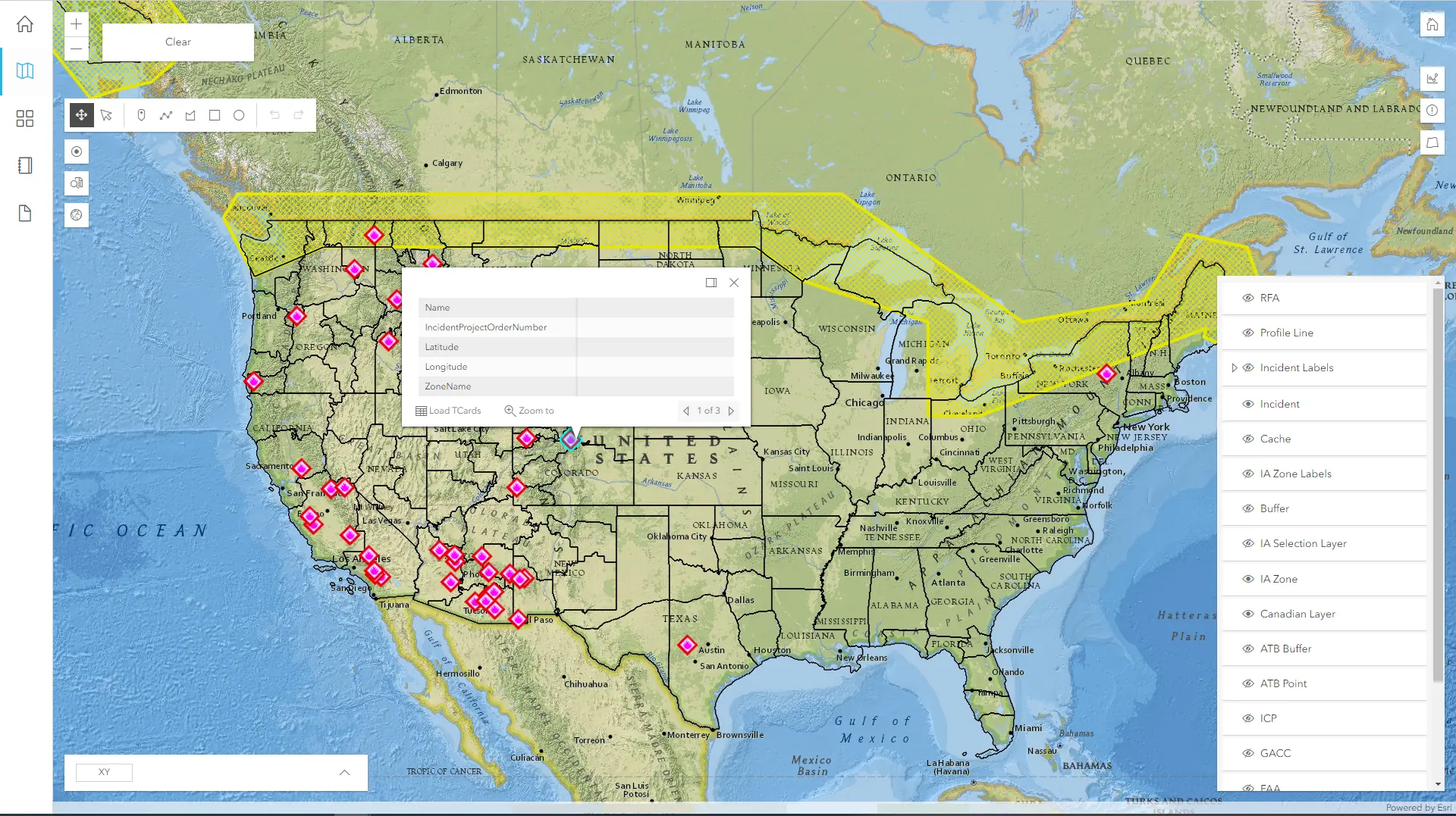
ShortHaul
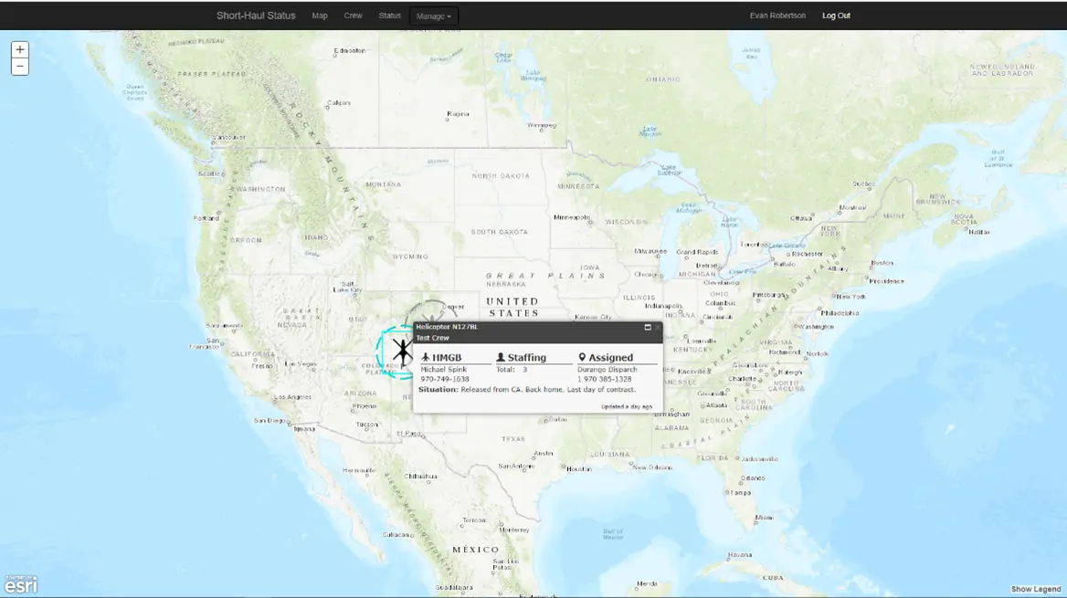
ShortHaul
ShortHaul provides spatial availability and locations for helicopters with the short haul capability. It also allows those assets to roster and update information.
FLIGHT
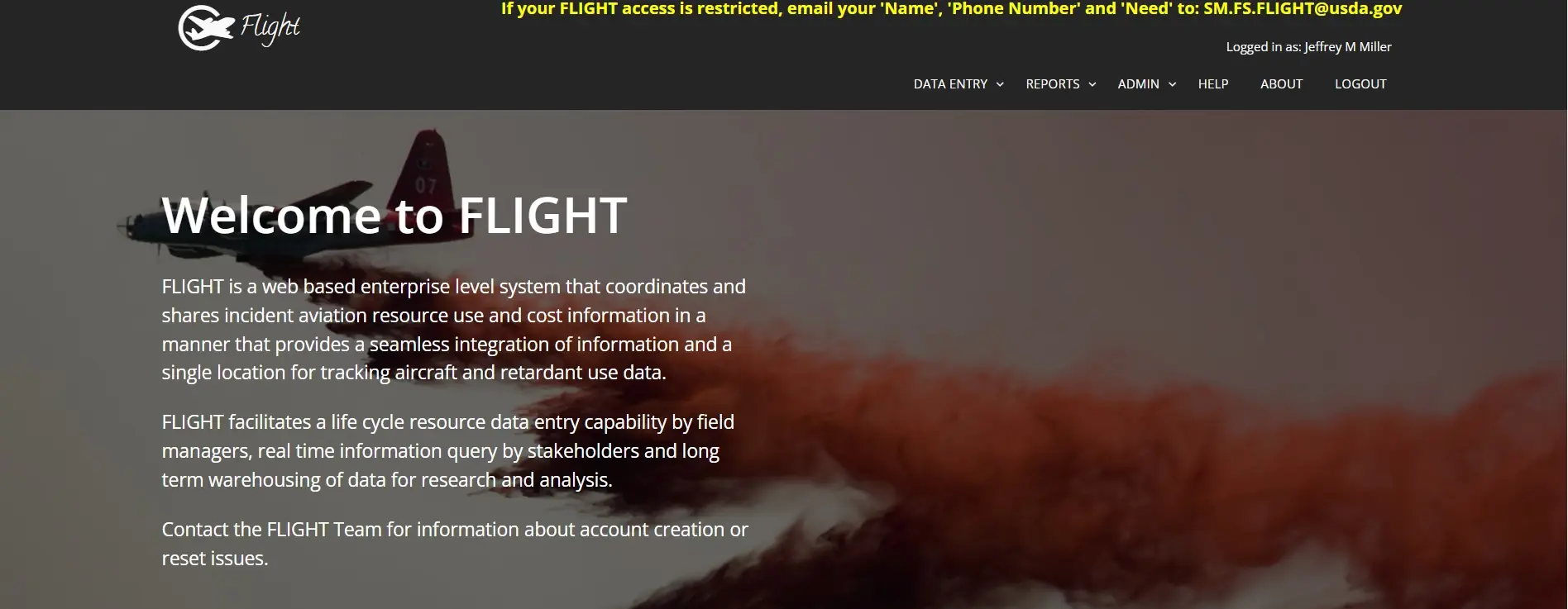
FLIGHT
FLIGHT is a web-based enterprise level system that coordinates and shares incident aviation resource use and cost information in a manner that provides a seamless integration of information and a single location for tracking aircraft and retardant use data. FLIGHT facilitates a life cycle resource data entry capability by field managers, real time information query by stakeholders and long-term warehousing of data for research and analysis.
AvCheck
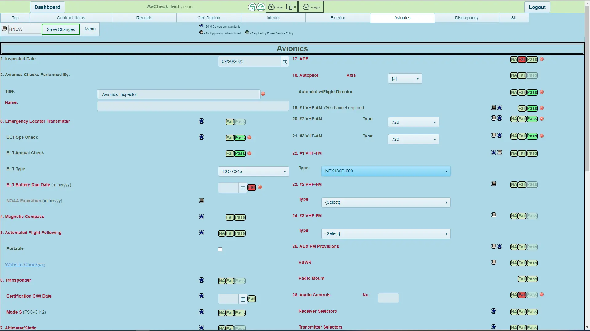
AvCheck
AvCheck is a web-based system that tracks fire aircraft inspections
Lightning Viewer
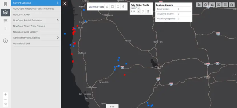
Lightning Viewer
Enterprise Geospatial Portal (EGP) Lightning Viewer is a web application developed for EGP to provide lightning strike counts, weather patterns, mapping, and geospatial data with animation capabilities for lightning strikes up to seven days. Lightning strikes are depicted using blue dots for negative strikes and red dots for positive strikes. Data is maintained by the Bureau of Land Management (BLM).